Cleaning up with data
Mapping Trash Distribution.
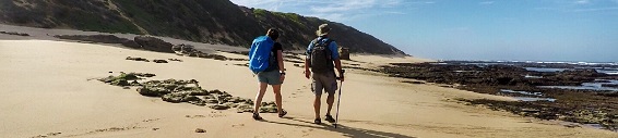
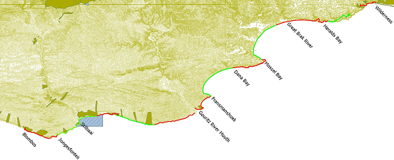
For locals that take regular beach hikes in the Garden Route, it has become apparent that certain types of plastic pollution washes up at specific locations on the shoreline.
By mapping the location of various categories of plastic found on the hike we were able to link it to possible sources.
Municipal Engagement.
Using our collected data, the Strandloper Project plans to enter into a dialogue with respective municipalities to take appropriate action to prevent future losses of plastic debris into rivers and the ocean.
Baseline Survey.
Plastic pollution and fishing debris were documented using our Dirty Dozen transect, Bottle Transect and Incidental Sighting app in Cybertracker. Surveyed items were classed in various categories including size, colour and original use and recorded with GPS location.
Read More |



 Coastal Baseline Survey.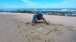
.jpg "Feature-3")